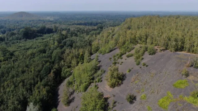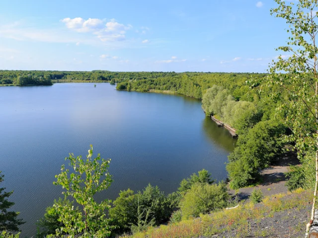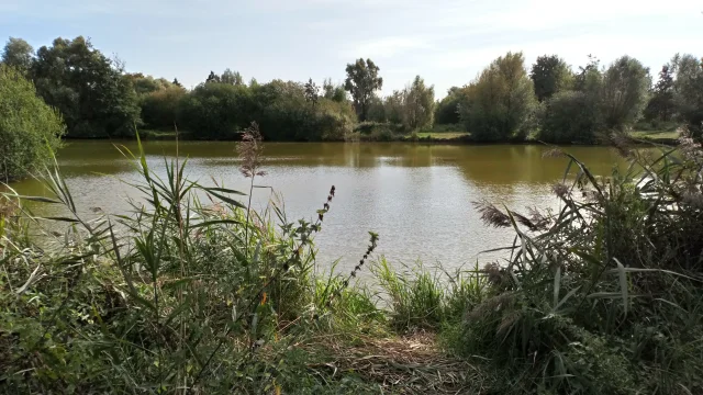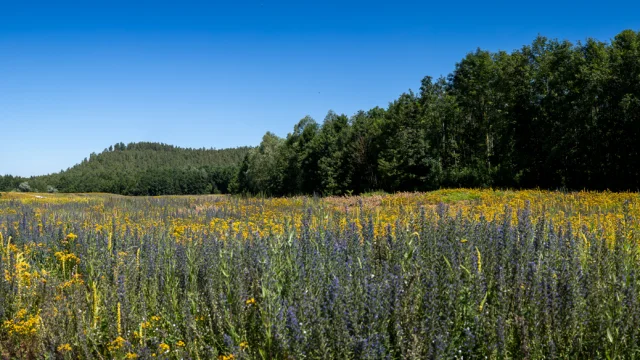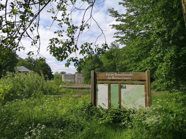
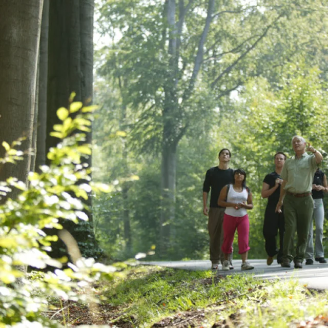
Recharge your batteries in the forest
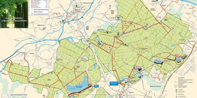
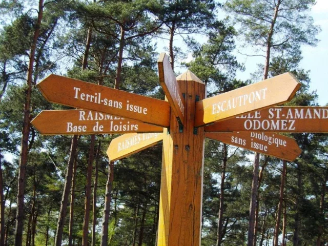
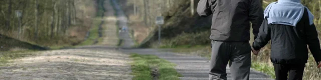
165 km of trails and 60 km of forest roads and tracks are open to the public, including the Allee des Hêtres, lined with bicentennial trees, and the Arenberg Trench, famous for its cobblestones that host the annual Paris-Roubaix cycle race.
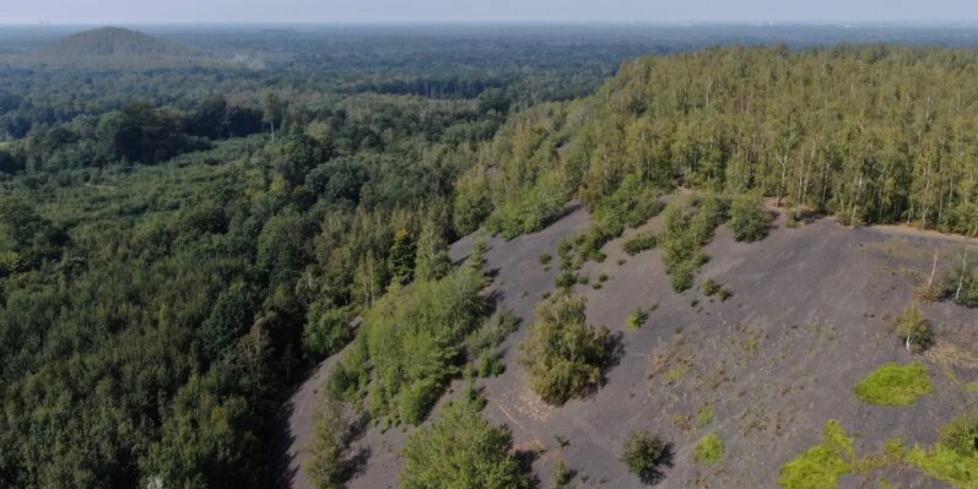
Sites are equipped with parking lots, picnic tables, information panels, footpaths… A campsite is located to the north of the forest, near the Mont des Bruyères, as well as a very welcoming inn, the Auberge du Lièvre.
 Otph drill
 Foret Camping Mont D B
 Foret Reposante A Saint Amand Les Eaux
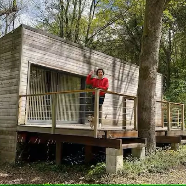 Odomez Chalet