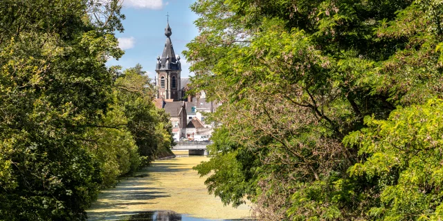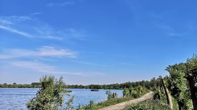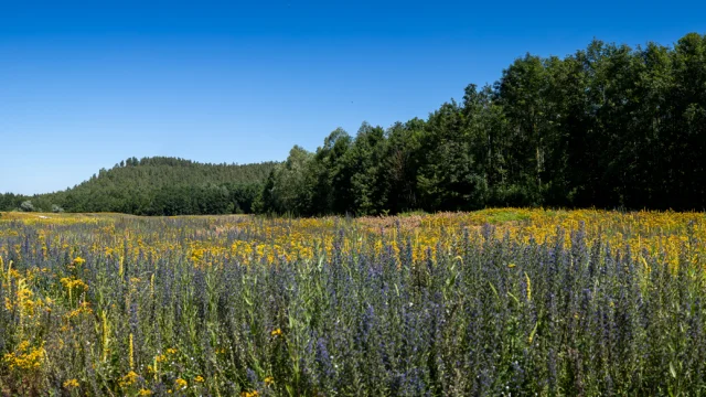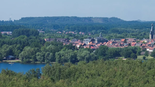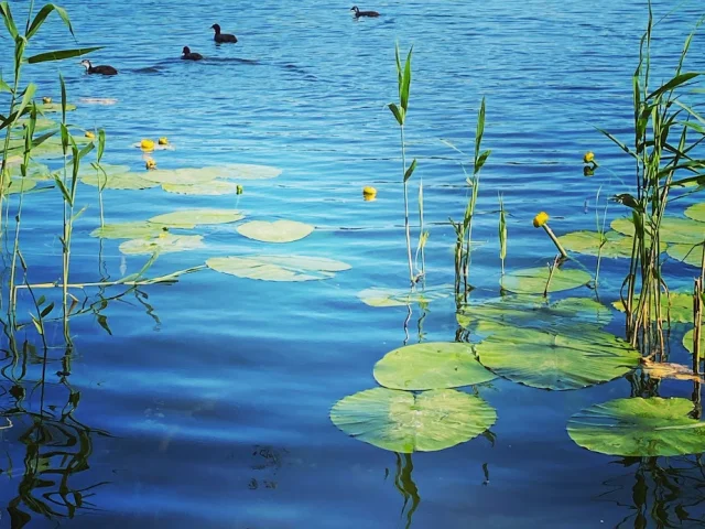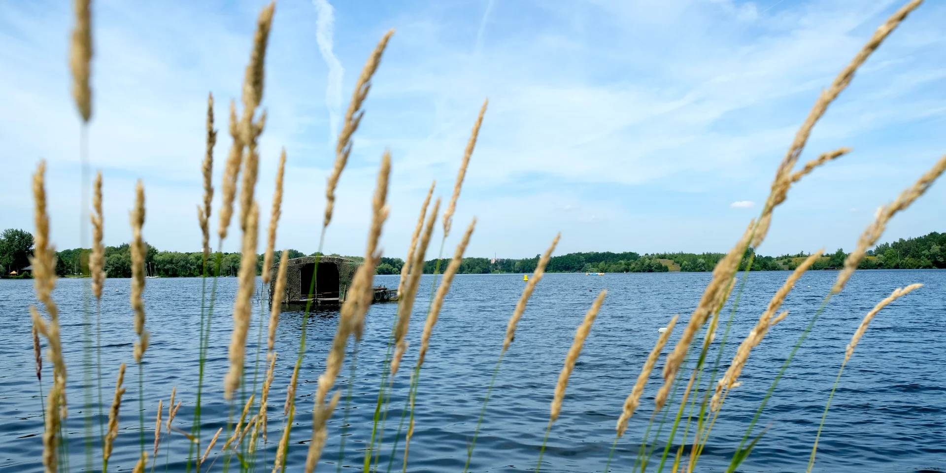
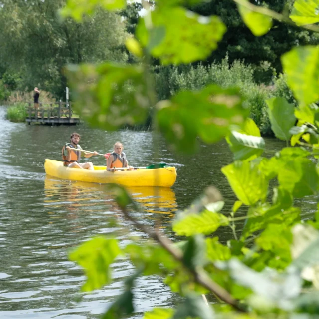
A land of strong character
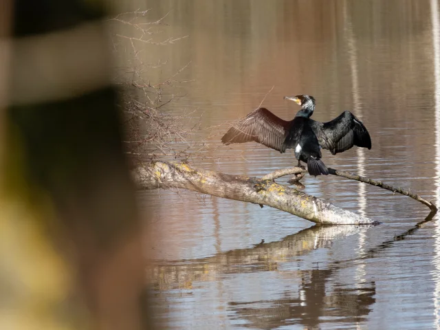
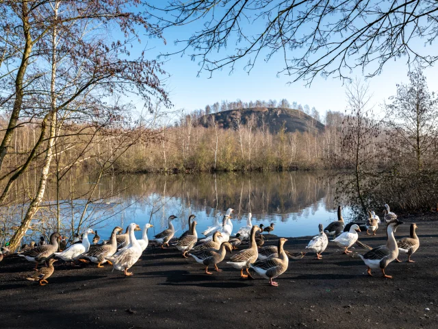
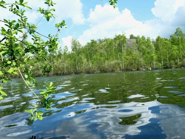
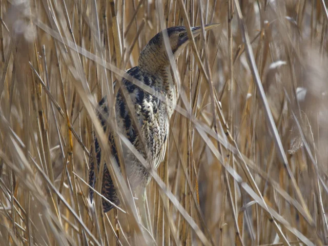
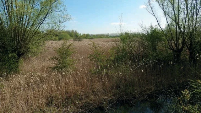
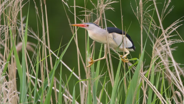
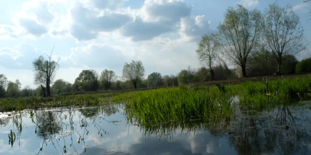
The parallel evolution of man and nature finds its full expression here: some large bodies of water resulting from mining collapses now play an important role in hosting breeding or migratory avifauna, while the rich abbey past has shaped an abundant network of ditches. The historical and cultural heritage associated with the wetlands reinforces this close relationship.
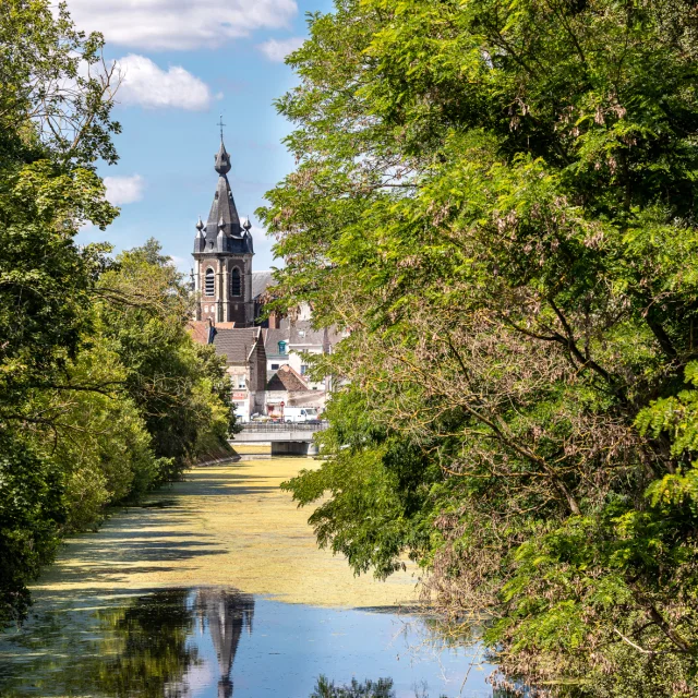
Conde-sur-L'Escaut
|
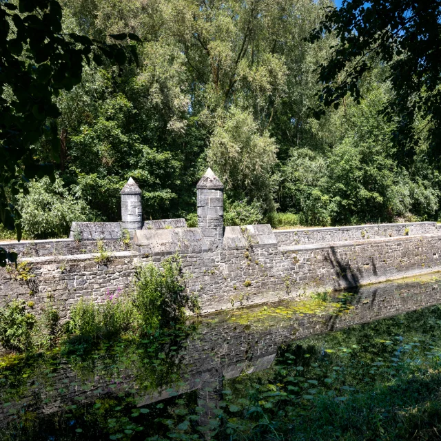
Fortifications
|
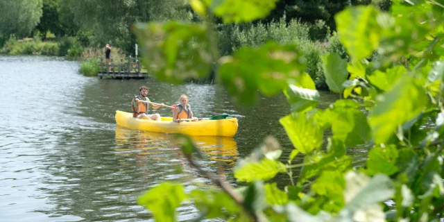
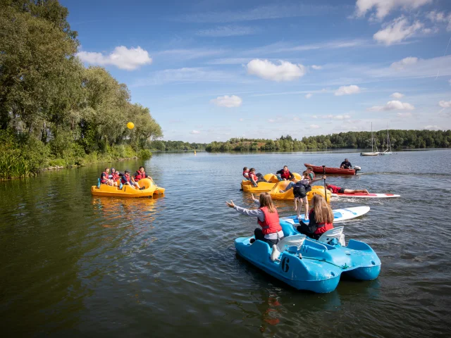
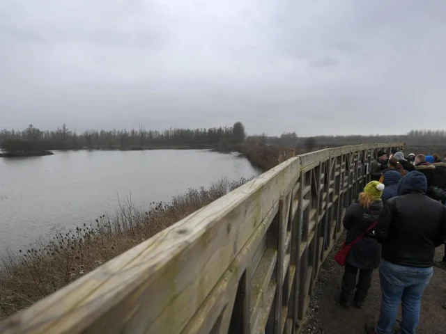
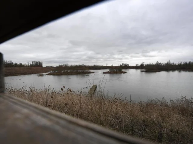
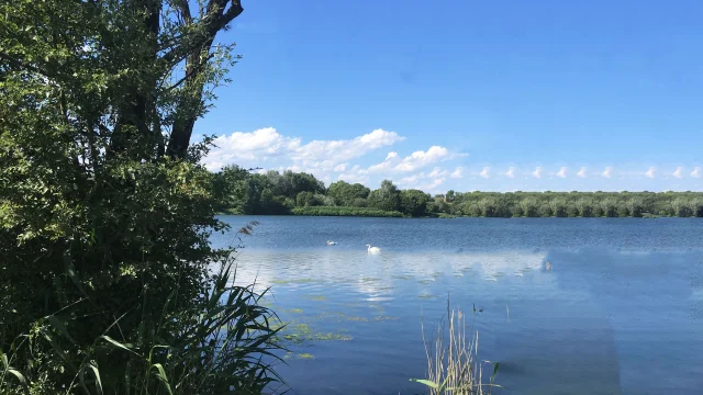
Base Nature et Loisirs Condé sur L'Escaut Chabaud-Latour
|
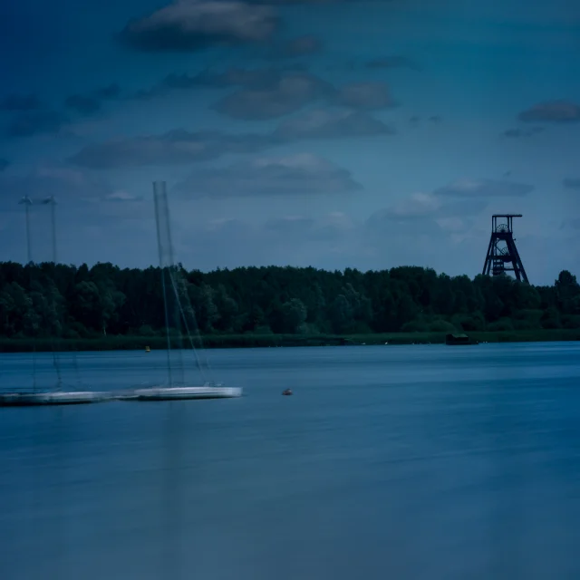
Condé sur L'Escaut Chabaud-Latour
|